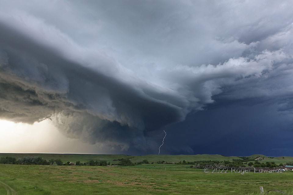
Aside from being one of the most spectacular scenes of the 2022 chase season for me, this look at a supercell also offered a veritable kaleidoscope of cloud forms and processes, all at once. The main mesocyclone, with broadly rotating wall cloud, churned along to the left of the lightning flash, and sported a nice “RFD cut”, where the occlusion downdraft (the inward-directed part of the rear-flank downdraft) carved a relatively clear area south of the wall cloud. Meanwhile, the far part of the RFD with respect to the supercell, and the near part with respect to you and me, forced a great deal of warm inflow air up both a ragged arcus formation and a striated plate above that. To the upper right, an elevated, but obviously convective, tail cloud converged into the main updraft region. At distant rear, behind the lightning, a forward-flank shelf cloud morphed into a lower tail of its own, feeding to the north side of the mesocyclone. The fast-moving, significantly severe storm probably came closest to producing a tornado during this stage, but occluded and wrapped noticeably cool outflow air very quickly. It also dropped two-inch hail during this phase, north and northwest of the mesocyclone, and a measured 92-mph gust in the forward flank.
4 NW St. Onge SD (11 Jun 22) Looking NE
44.5938, -103.7693