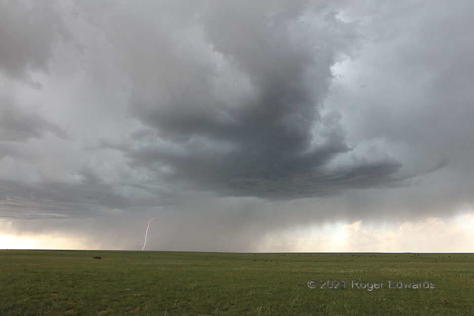
Already sprouting a small tail cloud and growing a robust updraft base, this very young and increasingly electrified storm emerged from a large mass of mostly midlevel, midafternoon convection dropping virga and light rain, as I’ve seen several times with late-developing Colorado supercells. Lightning activity grew markedly in this stage—not surprising considering this newfound updraft thrust rooted in an increasingly moist boundary layer, and shooting precip particles higher into ideal icing layers for charge separation and lightning production. On radar, it already exhibited weak midlevel rotation (the low levels not being sampled well anyway due to distance from the nearest unit). This would organize over the next hour and a half into a large supercell with rain-wrapped tornado.
3 NNW Kim CO (29 May 21) Looking NW
37.2934, -102.8511
