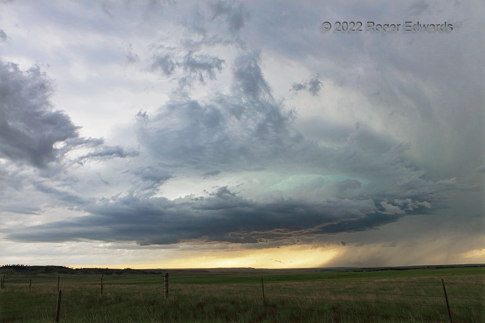
No, this storm wasn’t literally shackled in metal. Instead, it was the second in a series of three “Provo supercells” I saw just south of the Black Hills, and near the tail end of a line of convection that extended nearly to North Dakota. The series fired along a confluence axis along and north of a dryline, in short order during mid/late afternoon. I was fishing in the Black Hills, waiting for storm initiation, knowing where the boundaries were, and depending on the sight of anvil material streaming overhead in the absence of cellular coverage. That was the signal to put away the pole and reel, wind my way out of the rugged terrain, and head south to the adjoining High Plains for some storm fishin’. This was the second supercellular catch of three, with a vivid turquoise layer suggesting dense precip aloft with hail, in the interface between the main updraft and vault region. The last storm in the series, whose base is hidden here behind the knoll at distant left, moved quickly northeastward to set up a spectacular finale for the storm-observing day, as this one raced off into the high, forested hills.
8 NE Provo SD (13 Jun 22) Looking SW
43.2454, -103.7006
