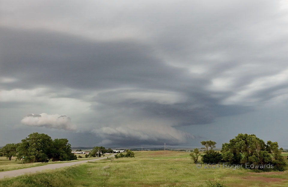
Since I left Norman early that morning, I hadn’t stepped foot out of the vehicle for more than about 10 minutes each, twice, to get gas and grab grub, while driving on the straightest path to this spot. The second half of that 8-hour trek, from just north of Salina to here, saw a supercell form midday, deep in the Sandhills, and wander east-southeastward, looking ever-more impressive on radar. This was that. However, by the time I got there, and it exited the Sandhills, this pretty and well-layered storm was stalling, and even turning north-northwest! Why would a supercell do such a thing? It was a process I had witnessed a few times before: a trailing storm that formed later grew larger and stronger, and the older, leading storm ultimately got absorbed into its forward flank (the area of precip at distant left). The combined supercell would become a big, churning producer of significant hail and severe wind, with a fantastic and sustained structural display for hours.
2 WSW Broken Bow NE (7 Jun 24) Looking N
41.389, -99.684
