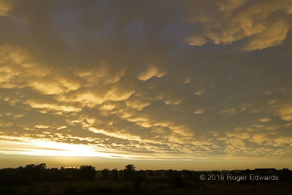
[Part 3 of 5] A long-lived and large arc of thunderstorms had moved over central Oklahoma several hours prior, and still was going strong as it crossed parts of southeastern Oklahoma and north Texas. Thriving off of a rich Gulf air mass to its south, with surface dew points in the 70s (F), the resulting cold pool still was forcing a large swath of that moist air mass into intense updrafts aloft, in turn evacuating an expansive shield of high clouds northward to form this splendid display. Some very distant storms, whose anvils barely can be seen beyond the trees and above the lower left horizon, would shadow this scene soon and cut off its direct sunlight before it had the chance to acquire deeper oranges and reds. As such, we had to turn yet another direction to find more visual treasure… [Part 4]
Norman OK (23 Jun 19) Looking NW
35.1928, -97.373