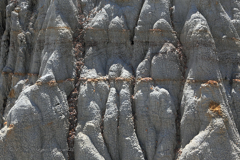
Water made this formation, and water breaks it up in two ways. This is part of a great deal of poorly consolidated Paleocene bentonite clay, in between thick layers and thin lenses of sandstone and siltstone. The gray clay, which takes on a popcorn-like texture when dry, was derived from volcanic ash that settled through shallow water. Bentonite swells and shrinks dramatically, depending on water content. This stuff can be very slippery when wet, forming a thick, gumbo-like surface unsuitable for climbing, walking or driving. Slopewash from snowmelt and thunderstorms does a great deal of the erosion, with some help from prying apart by ice in freeze-thaw cycles, landslides when underlying support fails, and wind (eolian) processes. Our “solid” surface really is as fluid as the atmosphere in many respects, just on a much longer time scale. A mere hundred thousand years from now—a fleeting flash on the geologic clock—this knobby badlands bluff will have eroded away, leaving a gentle slope well behind the current position, with all this material carried somewhere downstream by the Little Missouri River.
2 NE Medora ND (13 Jun 12) Looking SSE
46.9311, -103.4857
