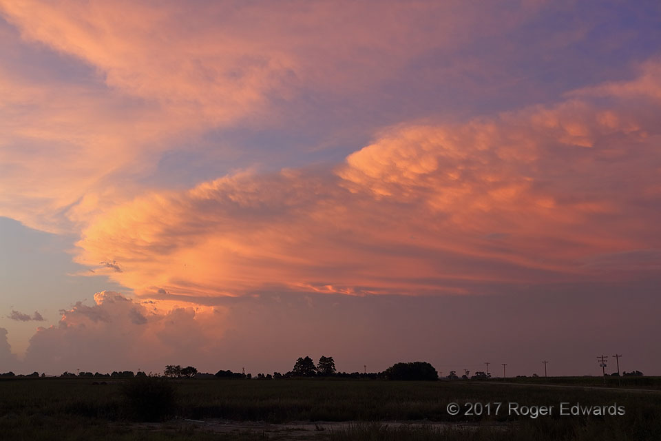
 On our way northwest to set up for eclipse viewing two days later, we noted a massive, heavy-precipitation supercell on radar erupting out of a pre-existing, small area of thunderstorms to the distant north, in north-central Nebraska. Too late in the day to drive closer than about 80 miles to the storm before darkness set in, we instead found an open vantage near the town where we were staying, and leisurely appreciated the spectacle from afar. This, along with nighttime lightning over the Platte River, from a separate and closer area of storms that would form after dark, blessed us with extra, unanticipated wonderment and photography that enriched the whole four-day experience of the eclipse trip. Within minutes of this shot, the storm produced a rain-wrapped tornado amidst an unusually intense radar velocity couplet. An unrelated area of cirrus clouds further colored and textured the already grand sky.
1 ESE Lexington NE (19 Aug 17) Looking N
40.7744, -99.7115
Summertime Supercellular Sunset
 On our way northwest to set up for eclipse viewing two days later, we noted a massive, heavy-precipitation supercell on radar erupting out of a pre-existing, small area of thunderstorms to the distant north, in north-central Nebraska. Too late in the day to drive closer than about 80 miles to the storm before darkness set in, we instead found an open vantage near the town where we were staying, and leisurely appreciated the spectacle from afar. This, along with nighttime lightning over the Platte River, from a separate and closer area of storms that would form after dark, blessed us with extra, unanticipated wonderment and photography that enriched the whole four-day experience of the eclipse trip. Within minutes of this shot, the storm produced a rain-wrapped tornado amidst an unusually intense radar velocity couplet. An unrelated area of cirrus clouds further colored and textured the already grand sky.
1 ESE Lexington NE (19 Aug 17) Looking N
40.7744, -99.7115