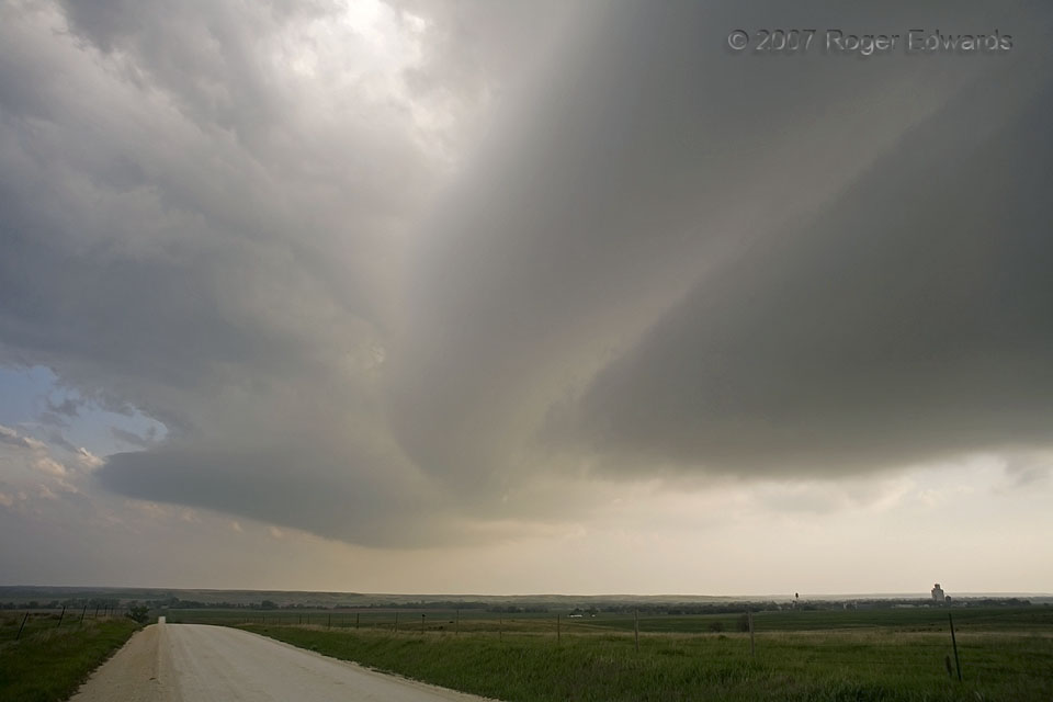
On this fine northern Kansas afternoon, we had observed towering cumulus building gradually into a full fledged supercell. Before the storm matured enough to produce large hail or heavy rain, we crossed beneath in order to get ahead of its projected path. During that trek, a ghostly set of cloud bands or striations streaked across the elongated base of this storm, a version of natural abstract art in vaporous form, spanning the sky on its outflow-dominant rear flank, and changing by the minute. The updraft base at left, however, eventually would become the dominant one and part of the main mesocyclone. Striations near the bottom of a supercell signal a belt of smooth, laminar flow through what’s left of the capping inversion in the storm’s immediate environment. Forced to rise by the low pressure area higher up in the storm itself, with a boost in this case from outflow-related lift, moist condensing air is moving more smoothly than turbulently as it rises along gentle slopes, before finally busting through the cap and freely convecting.
1 NE Woodston KS (4 May 7) Looking SW
39.4636, -99.0819
