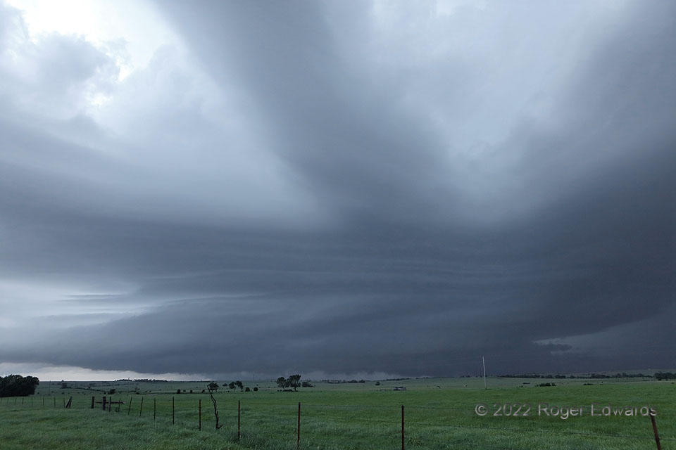
Merging of a newer storm’s updraft region, at left, with a longstanding one, at right, started while we were nearly under the latter, so we decided to bail southeast out of the projected collision notch for some wide structure views, figuring it could be a forced-ascent festival of striated cloud forms. That, it was—with bands across, right, left, and above, sweeping across the sky in ever-evolving, essentially laminar fluidity. Some form of this storm had existed for a couple hours, with a few intense mesocyclonic occlusions. Only right after we backed out several miles, and just after this photo, did it apparently produce one or two quick (3-second), bird-fart spinups somewhere in there. No regrets! I’d rather behold this any day than mess around in the dark, wet maw of a large, complex supercell, amid fading twilight.
7 ESE Maple City KS (31 May 22) Looking NE
37.035, -96.6442
