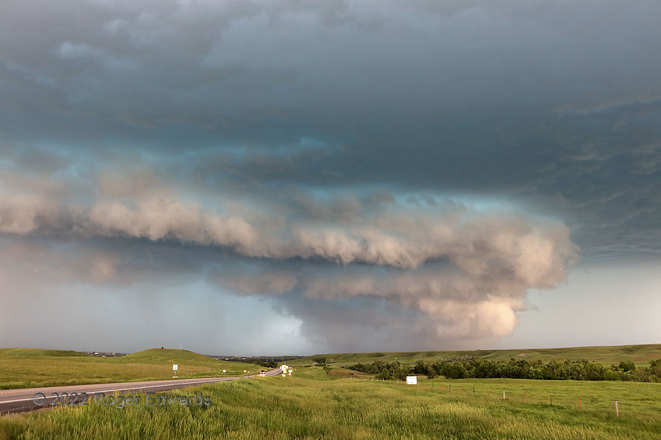
With this significantly severe supercell’s back side still blasting Belle Fourche, the front end churned east-southeast quickly. Its mesocyclone region, at center-right, was a roiling cauldron of rain, hail, wind, and perhaps more, inside broad and obvious rotation. Condensation near ground level can be seen beyond the low ridge in the distance, and yes, some of it appeared to be turning. However, neither I nor TORUS field-project members situated a bit uphill from and behind me could spot any obvious debris nor power flashes, and no unambiguously tornadic damage was reported in rural areas east of Belle Fourche (beyond what the broader storm already was doing). That’s good news. Front lighting from the east brought a pleasant peachy shade to the near side of wall and shelf clouds, beneath the turquoise tints common to deep supercells containing lots of hail. Alas, the fast-moving storm didn’t offer much time to stand around and appreciate its beauty!
5 NW St. Onge SD (12 Jun 22) Looking WNW
44.6035, -103.7798
