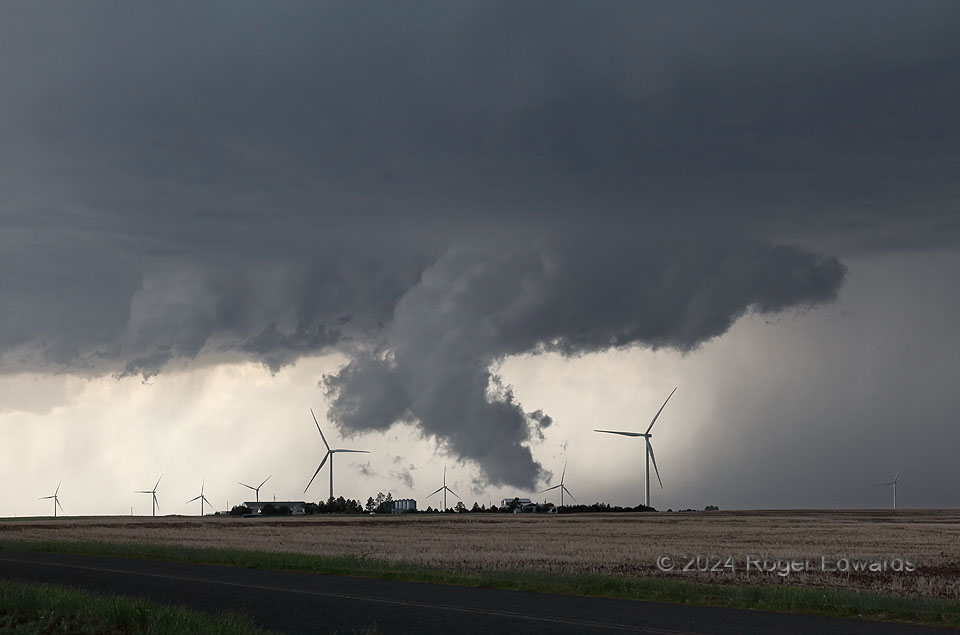
High-based and entirely nontornadic through its life cycle, a northeastern Colorado supercell nonetheless made things interesting a few times as it cycled through relatively vigorous, low-level mesocyclone phases, with low wall clouds. Rotation was slow, with much faster upward motion in each case. This was the nearest to ground of the wall clouds, when including a pronounced boot of condensation arising from the forward-flank core at right, then curving up and back downshear into the higher, ambient cloud base. With this shape, connected visually to the rain foot at right, the cloud form acts as a tracer for the path of air from downdraft back to updraft. The recycled air from the core, cool and moist, condensed at a very low elevation relative to both ground and surrounding cloud material under the same mesocyclone. From a distance, features similar to this have fooled spotters and chasers into thinking, at least briefly, that they were tornadoes or funnel clouds.
9 SW Fleming CO ( 1 Jun 24) Looking NW
40.5841, -102.9256
