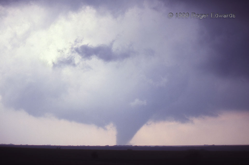
A classic Kansas tornado developed from a supercell we watched from the very first dryline towers, until nearly simultaneous supercell and tornado dissipation north of the warm front. The bright, relatively clear area above-left of the tornado, allowing more-direct sunlight through, was a cloud gap cut by the inner part of the rear-flank downdraft wrapping around the mesocyclone and supporting the tornado itself. This was near the peak size and best apparent organization of the Stockton tornado, and its apparent motions were comparable to several tornadoes I’ve seen that produced strong to violent damage. However, because of the lack of damage indicators in its path (a good thing, mind you!), we”ll never have a good representation of how intense it was away from the single-point F1 rating.
5 SSW Stockton KS (15 May 99) Looking NW
39.3719, -99.302
