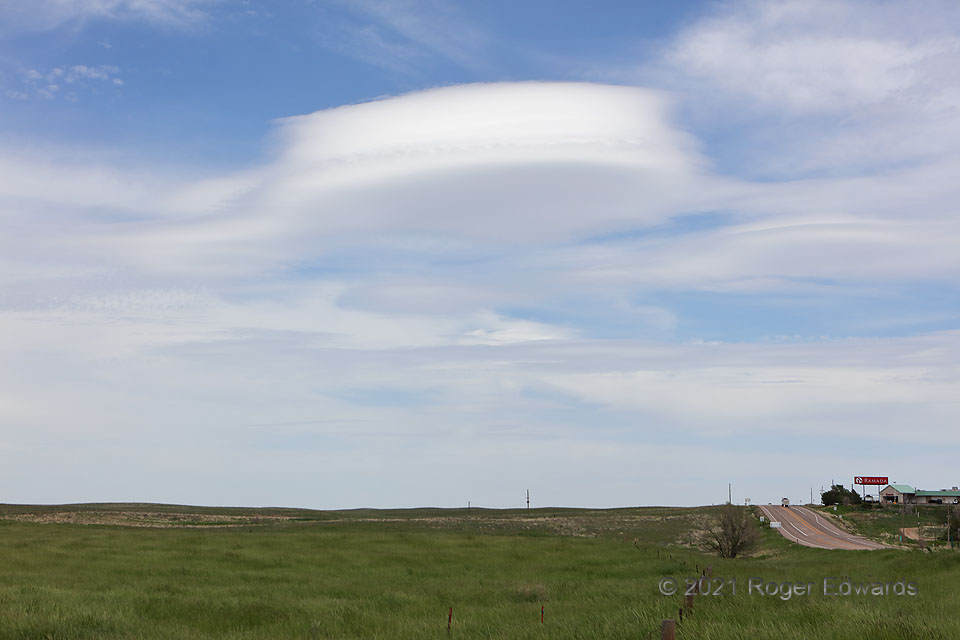
A “sterling” example of “altocumulus lenticularis” (lens cloud) sped over the part of Colorado most removed from mountains, at the same time thunderstorms were forming just 30–60 miles to the southwest. Aviators avoid such clouds, as they reveal the presence of rough waves aloft that can severely jostle and perhaps damage aircraft, and cause injury within. The old Surface Aviation Observation (SAO) coding for these formations was ACSL: altocumulus standing lenticularis, after their tendency to develop in standing waves, over or just to the lee of mountains. This one wasn’t “standing” very well, however, and didn’t have a visible convective (cumuliform) component, so it probably is a cloud without a literally valid name. Instead, it was hauling northeastward at a fairly quick clip, the upward-moving (lifting and condensation) portions of its formative wave being carried within southwesterly synoptic winds, instead of anchored to obstacle flow over mountains. Harmless but peculiar clouds like this probably account for a nontrivial number of “UFO” reports.
1 E Sterling CO (21 May 21) Looking ENE
40.6232, -103.1666
