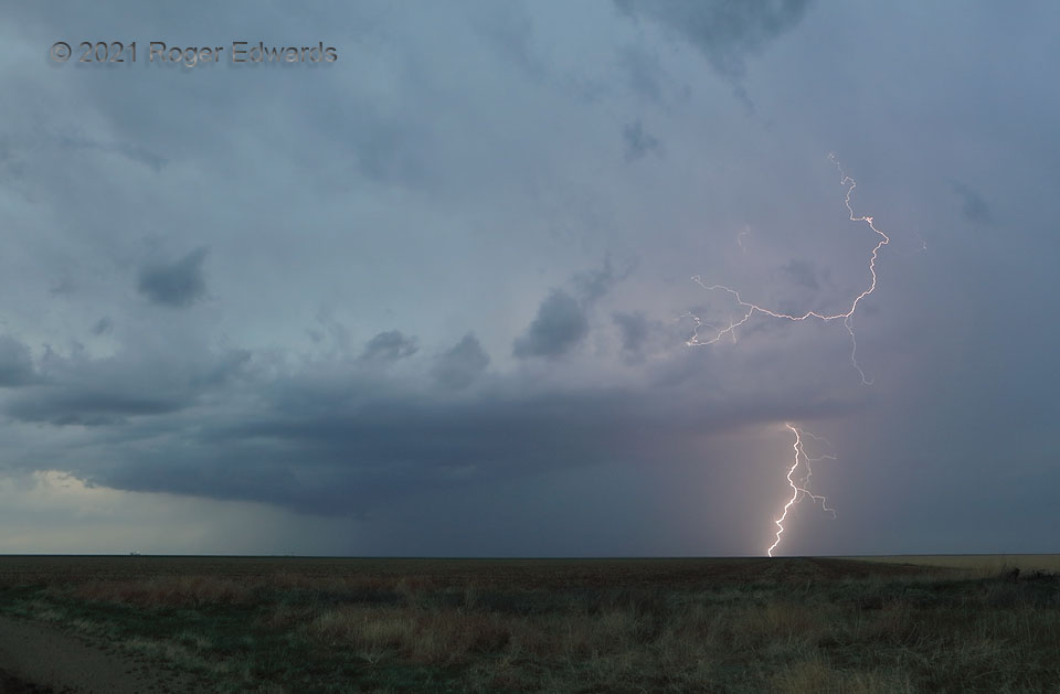
Having encountered little more than junky, non-photogenic convection farther northwest and closer to Denver, and with the next day’s potential somewhere over the southern Panhandle, I had to head southeast anyway. While enroute, severe thunderstorms formed to my southeast over Baca County, and I caught up to them around sunset as they clustered up into a mess. Still, this fuzzy yet still (barely) discrete storm northeast of Walsh somehow persisted into twilight. It found a remnant pocket of unstable air to work, blasting a few bright discharges from the forward-flank core edge, before succumbing to the upscale growth all around. According to most maps I’ve seen that drill down to this scale, the Colorado/Kansas line jogs slightly northwestward here, along the road to where I stood, before taking off northward again at this spot. Therefore, I probably was astride parts of two states, looking down the line at lightning in Kansas from a weak supercell whose updraft was in Colorado. Not recalling ever standing directly on state lines for storm shooting in over 35 years of doing this, I found myself doing so twice more in 2021, with the Texas/New Mexico and New Mexico/Arizona borders being the others.
9 NW Manter KS (15 May 21) Looking N
37.5792, -102.0419
