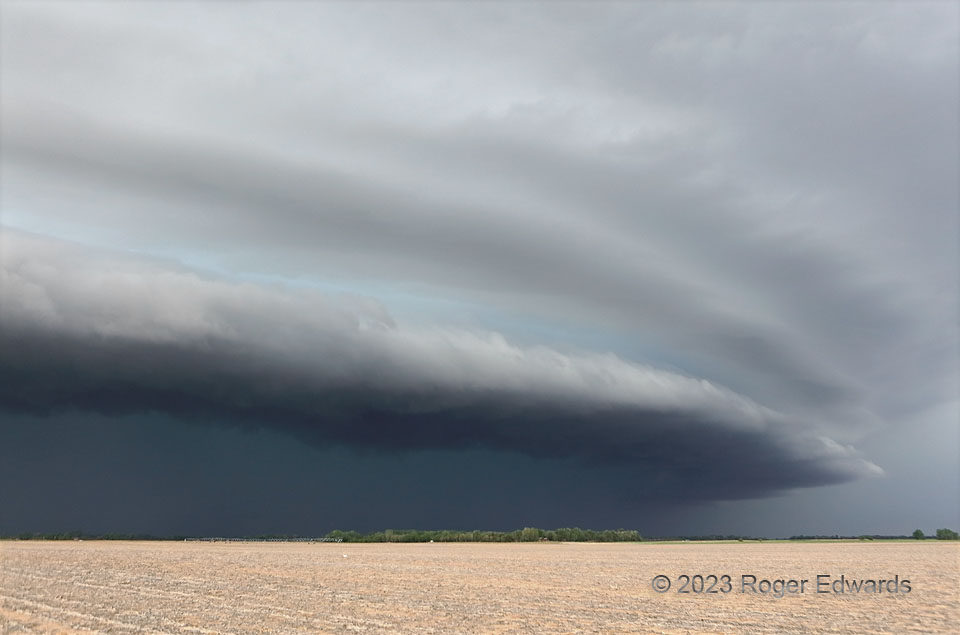
[Part 1 of 3] Irrigating the storm apparently worked, because a former supercell by now had turned into a small but severe bow echo, still with an embedded mesocyclone and large hail. As such evolutions are wont to do, especially when forcing somewhat stabilized air from earlier outflow, this storm stacked layer upon layer pf parallel, photogenic cloud material, the bottom of course being the main shelf cloud. Often manifest more as a turquoise hue, this striking layering sandwiched a baby-blue coloration above the boundary-layer part of the dense precip core. Compare this to the north view of a larger, severe bow echo from 12 years before. [Go to Part 2]
3 WSW Stafford KS (9 May 23) Looking NW
37.9555, -98.6598
