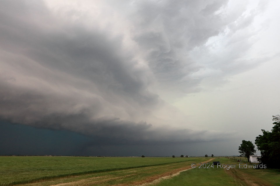
This deep, tiered, dark “moose” of a supercell (as I referred to it on social media from the field) was tornadic, but waited until becoming thickly rain-wrapped thanks to repeated cell mergers into the rear flank. Good luck seeing any spinups through all that turquoise-colored core’s dense precip (including large hail). A position in the “notch” northeast of the mesocyclone may have afforded a brief, murky tornado view, but a lack of paved eastward escape-road options along the projected storm track precluded that, once the storm moved past Hennessey. We therefore backed off to enjoy the structure.
5 E Hennessey OK (6 May 24) Looking NW
36.1164, -97.8111
