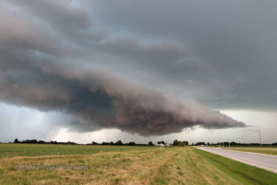
For a brief time, probably less than 15 minutes, a previously somewhat elevated supercell became surface-based between Shelbyville and Shelbina in Shelby County, MO. [This Shelby character must have made quite an impression back in the day!] However, strong rear-flank outflow surged out south of the older mesocyclone, which was weakening at this time and represented by the shallow, shabby wall cloud at left rear. The surge then slowed and failed to outpace the southeastward movement of the parent supercell, whose midlevel mesocyclone build down into low levels again and led to moderate cloud-base rotation on the lower-handing, turbulent, brownish underside to the left of the road. The coloration was odd, clearly a reflection of foreground color, probably from the aggregated ground cover, and the reddish, indirect light of late day, then darkened by storm depth. Meanwhile, turquoise hues above the shelf indicated abundant or large hail aloft. This was a fascinating process to behold, but with the rear-flank core encroaching from the off-screen left (west), I couldn’t stay here long to admire and study it further.
4 N Shelbina MO (13 Jun 24) Looking N
39.7529, -92.0426
