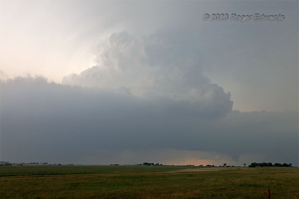
A very moist boundary layer and general, ambient haze in the warm sector made for difficult spotting for most of this supercell’s lifespan, except when very close to the base. That was challenging, since the storm moved relatively fast, and southeastward, at an awkward angle with respect to the road network it crossed. Nonetheless, we managed a few decent views and one pretty good one here near Gainesville, in its path, where we broke off the chase to get dinner and head home. This reminded me a lot of how I imagine storm observing in chronically hazy places like Ohio or Indiana, even in open farmland areas and with few low clouds in the way. The storm was tornado-warned soon after this, but with some of the best views we ever had of the main mesocyclonic region from its rear-flank downdraft, nothing even close to tornadic developed.
2 NNW Lindsay TX (15 Jun 23) Looking NW
33.6733, -97.2372
