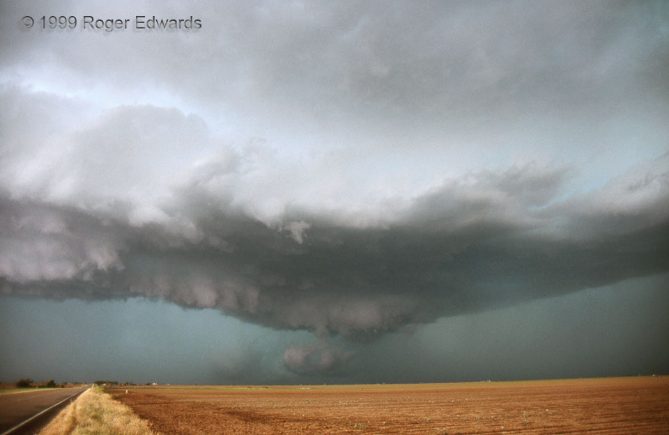
[Part 3 of 3] The HP supercell began to weaken as I got farther southeast, getting ahead of the storm again it angled likewise. But the curved cold outflow (left), the mesocyclone at center, and the tail feature (former flank) at right, acted like a miniature version of the cold front, low, and warm front structure of big synoptic cyclones. It isn’t too hard to imagine a weather map with those features, overlaid on the front flank of this storm! The combination of the storm’s artistic beauty, with its educational service as a giant HP laboratory specimen, made the long day’s drive well worth every second and penny. The wall cloud still rotated, fighting in ultimate futility against cold outflow air; big scud chunks beneath represented rain-cooled air being forced to rise and condense by the circulation above. The large cloud partially hidden by precipitation in the left background is part of an old, occluded mesocyclone. [Back to Part 1]
5 SW Floydada TX (25 May 99) Looking W
33.9342, -101.3899
