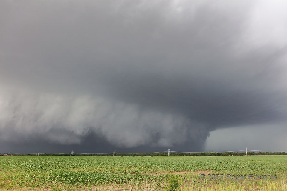
Though north Texas seems to be the hotbed for big, dark, dense, heavy-precip “stormzilla” supercells, you can find them elsewhere on the Plains too, including southern Kansas. They have a menacing beauty all their own, but for conscientious observers, such a storm mostly is a nasty, low-reward/large-risk mess. True to form, the “Potwin HP” churned along, accelerated by its own massive load of rain and hail that wrapped wholly around a fairly strong low-level mesocyclone (middle). If this ever produced a tornado, it was small, short-lived, non-damaging, invisible in dense precip, and not reported. I wasn’t going in there to find out. The overall view was better out in the inflow region anyway. When we learned about another supercell to our distant southwest, moving northeastward out of Oklahoma, with a couple hours’ daylight left, we wasted no time bidding goodbye to this storm. Deeply wrapped HPs rarely recover clean visual structure in the mesocyclone area.
5 NE Potwin KS (30 May 22) Looking NW
37.9845, -96.951
