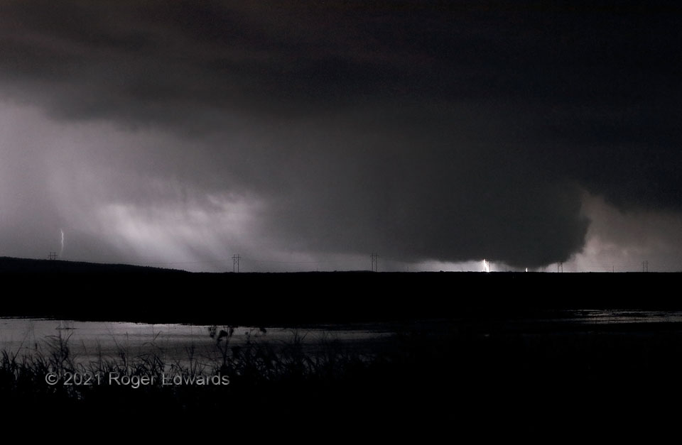
[Part 1 of 2] This multiple-vortex circulation, partly silhouetted by distant cloud-to-ground flashes, was the fourth and final tornado from this autumnal supercell. It also was the third I photographed, with the other one being brief, while I was driving. A short-lived but well-defined cone tornado south of US-62 shortly preceded this one. This tornado started out as a faintly visible, slim cone crossing US-62 to my nearer northeast, but with terrible photographic fortune due to a lack of lightning. The latter picked up as the tornado got more distant, expanded then experienced vortex breakdown, beneath a large and well-defined wall cloud. [Go to Part 2]
3 SSW Snyder OK (12 Oct 21) Looking NE
34.6091, -98.9658
