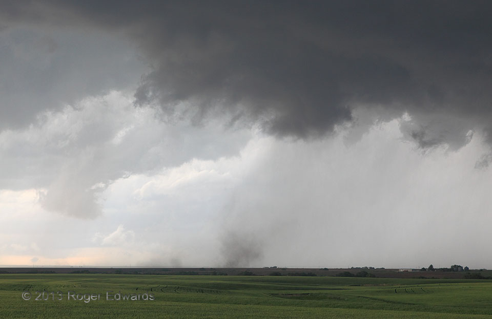
An otherwise undistinguished area of an elongated supercell’s cloud base, between precip areas, started to rotate quite noticeably. A weak tornado formed–a dust whirl under the little area of pronounced cloud spin, so feeble at first that it took us a couple of minutes of staring to be sure. Yet there it was, cloud base and dust whirl tightly rotating in sync, with thin dust rising to the base. This was the first tornado of three we would spot with this storm, and one of several little tornadoes I’ve seen with no condensation funnel, including another very nearly a year prior. Be careful when spotting such dust whirls from the southeast or south, however; sometimes (not in this case) the dust may be an outflow-arc gustnado superimposed before a background mesocyclone, tricking you into seeing it as a tornado. Off and on, but mostly on, the little tornado that could stayed visible, lasting for six minutes before being plowed under by such a rear-flank gust front, of a newer, really big low-level mesocyclone deepening to our N.
1 W Smith Center KS (27 May 13) Looking NW
39.7853, -98.8048
