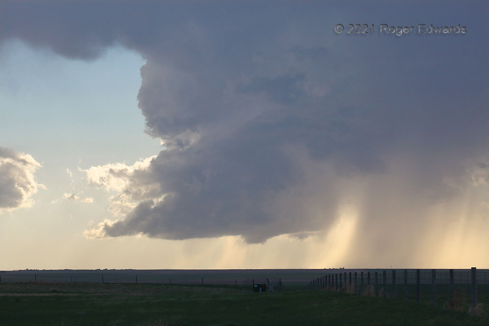
A few hours after a frantic intercept of a large, messy supercell that (for me) was briefly tornadic before it got away, it was time to let a few hours elapse and await further storm potential. Along came a small one! Even with an updraft that was narrower than usual, this classic supercell had so many of the textbook features: (small) wall cloud, rear-flank downdraft, vault region on the north side, and forward-flank core. It was missing a substantial convective flanking line (as little supercells often are). As the song says, however, “It’s all right to be little bitty.” Even in an otherwise favorable environment (the area was in an “enhanced risk” outlook and moisture was increasing), small updraft size can limit tornado potential due to a combination of weaker vertical lift and entrainment of surrounding drier air aloft. Still, even with meager chance of a tornado, this storm was a delight to observe, adding to the beauty of the Great Plains as it twirled north-northeastward across the late-afternoon sky, toward the Idalia area and a segment of US-385 to my north.
10 SW Hale CO (23 May 21) Looking WSW
39.517, -102.2605