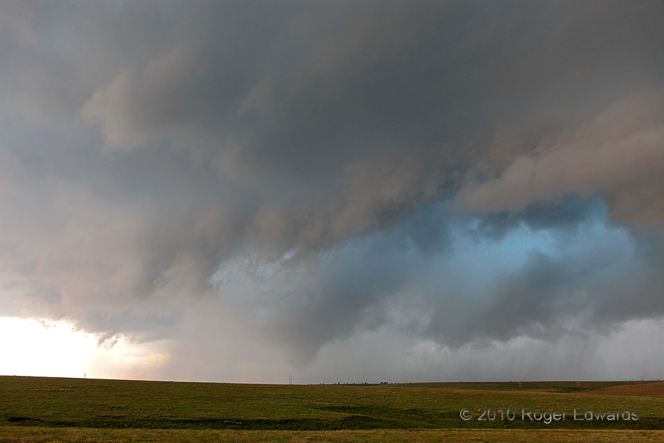
The messy, seemingly outflow-dominant supercell already had been colorful, with turquoise-toned cloud chasms from which copious rain and hail cascaded all around the old, previously tornadic mesocyclone. It just didn’t look like the storm would produce another tornado, at least up to about 30 seconds before this photo. We just had finished photographing an abandoned house and were heading E on US-412 to get out of the way of the storm’s forward-flank core (and its hail). Surprisingly, a conical cloud form appeared in the rain a few miles to our SW. One quick glance and it was obvious: tornado! We glided to a safe stop out of the traffic lane; and I ran up the embankment and started shooting. This early stage of the “Slapout tornado” already was rain-wrapped, and the old mesocyclone was starting to surge E with aid from broader storm-scale outflow that soon would hit us too. First, however, I had the opportunity to watch the tornado track harmlessly across open country and to fire off more shots…
5 NW Logan OK (13 Jun 10) Looking SSW
36.6159, -100.2853
