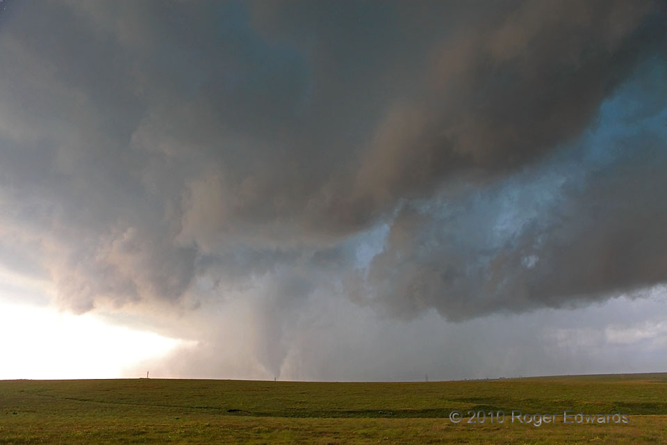
Viewing the “Slapout tornado‘s” surroundings at wide angle reveals an arcus cloud on the right side (NNW of the tornado), which actually was the rear-flank gust front for a large, newer, rain-wrapped mesocyclone forming unseen to our W (off the screen to the right). The whole scene looks rather “gust-fronty”. Indeed, if we do out best to mentally subtract a tornado from view (i.e., put your finger over it), even a seasoned storm observer would have trouble believing that this part of the storm produced one! The narrowing old mesocyclone and its tornado were totally surrounded by precip and couldn’t last much longer. In fact, we left the scene after another minute or two as the tornado moved to our S and disappeared, and the newer storm-scale circulation approached.
5 NW Logan OK (13 Jun 10) Looking SSW
36.6159, -100.2853
