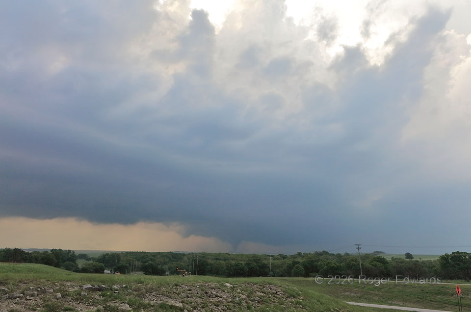
A young but mature supercell, with a large and promising updraft base, moving into progressively larger hodographs, took its sweet time to produce a tornado over the open country of the southwesternmost Flint Hills in Oklahoma. Yet finally it did, while moving into a large road void past Shidler. The mesocyclone was so strongly tilted that the tornado occurred in the main updraft, but vertcially under flanking towers. This spun up just in time, too, before I would lose contrast and daylight, and have to divert south, east and north to catch up to the storm after dark. A brief, small satellite tornado occurred while I was sending this report to NWS Tulsa, and I did not get a photograph of it. I also couldn’t photograph the third tornado I saw from the supercell, a cone west of and crossing OK-99 NNE of Pawhuska, due to darkness and a furious lightning barrage that kept me in the car and unable to set up a tripod. This was a fun chase day, but also, exemplified (through tornadic brevity, distance, poor light, inability to find a safe pull-off or get out in lightning, etc.), why shooting a tornado is even more difficult than finding one.
2 SSE Shidler OK (26 Apr 26) Looking NNE
34.7462, -96.6524