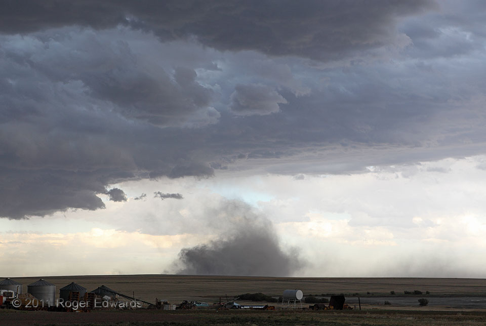
[Part 3 of 4] As the Sheridan Lake storm complex of 2011 churned southeastward, blasting waves of outflow into the back side of its gust front, one particularly intense wind channel reached a very dry, plowed field. This stirred up a miniature Dust Bowl, visually imitating the debris cloud of a funnel-deprived tornado. Of course, the cloud base above wasn’t rotating, and the dust plume dispersed as this part of the outflow surge proceeded onward toward the horizon. We headed south to get ahead of the gust front once more, and in doing so, got a dusty visual reward for the effort…
Sheridan Lake CO (18 Jun 11) Looking SE
38.4647, -102.2922
