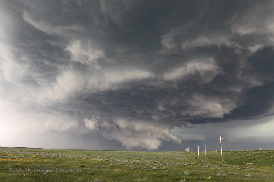
What previously had been a high-based, somewhat ragged, outflow-surfing supercell, in and north of the Judith Range, then tightly rotating with a funnel, then high-based again, encountered a boundary with backed flow and slightly greater moisture. The storm accordingly, albeit temporarily, wrapped up an intense low-level mesocyclone, represented visually in this wide-angle view by the ragged, ground-scraping wall cloud in the distant center. The wall cloud’s circulation was very obvious, fast and furious, translating left to right across the central Montana prairie, and may even have been briefly tornadic at about this time. Alas, with nothing but grass to damage and no obvious clues such as flying debris, I didn’t quite have enough evidence to confirm a tornado, beyond reasonable doubt. This marvelous scene served as yet another example of an uncertain position on the spectrum between mesocyclone and tornado.
8 ESE Roy MT (10 Jun 16) Looking N
47.3104, -108.8055