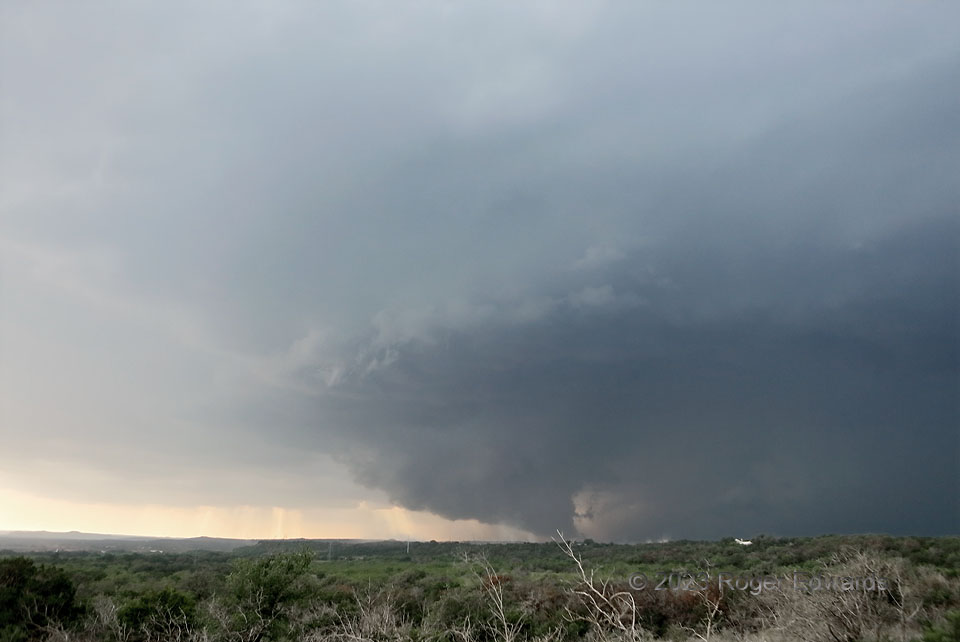
A large, complex supercell that had organized near Lampasas turned even harder rightward, churning south-southeastward along and west of US-281 past Burnet toward Marble Falls. [Yes, I was chasing in the Hill Country in May, after doing so in April, and would again in June!] Fortunately, I had left the crowds trying in vain to see inside the larger, nasty, rain-wrapped mesocyclone in trees and terrain to the north (off-screen to the right), and found a great, hillside picnic-pullout vantage westward. True to my Texas origin, I was eating Buc-Ee’s pork rinds and drinking Dr Pepper at the picnic table from which I also shot this rapidly organizing mesocyclone and wall cloud in a flanking updraft area. Sometimes I’ve seen secondary areas of rotation like this produce tornadoes (including one later the same year). With a moderately rotating, “ground-scraping” wall cloud like this, it certainly was worth intensively focused scrutiny. However, within another 15 minutes, the rear-flank gust front from the main heavy-precip mesocyclone undercut this area, and the entire storm started evolving into a forward-propagating cluster.
6 NNE Marble Falls TX (5 May 23) Looking WNW
30.6507, -98.2579
