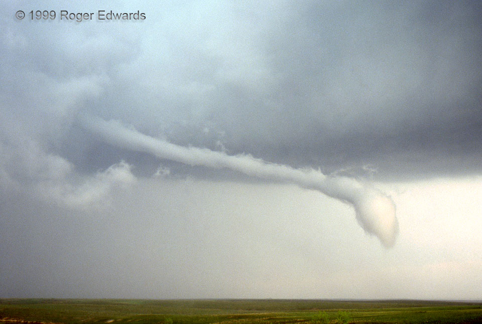
Cold outflow was undercutting the Lake McClellan mesocyclone and moving the bottom of the barely tornadic vortex toward the SSW (from left to right) with respect to the top. As it elongated horizontally, this remained a very weak tornado, with only a few brief wisps of condensation on the ground beneath the “stinger” tail. Visibly, the rotation was obvious but very sluggish. The cool air probably contributed to the labored twisting of the vortex, as if it were stirring the atmospheric equivalent of wet concrete. The “ice skater” effect of vortex stretching seemed to offset increasingly stable air being drawn into the circulation enough to keep it alive for this long. After this shot, the visible condensation funnel slowly withered, breaking into pieces and disappearing. It was a gradual process over 8 to 10 minutes, and a fascinating and spectacular sight to behold! Besides this tornado, the memorable supercell would also yield immense quantities of destructive hail (damaging many storm chasers’ vehicles) and tons of wild lightning close and far.
5 W Lake McClellan, TX (20 May 99) Looking ESE
35.2076, -100.975
