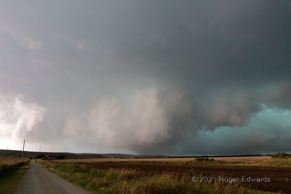
[Part 1 of 2] This low, wet, messy, tornadic circulation first developed just beyond that wind-turbine-festooned ridge it was cresting, which is the western end of southwestern Oklahoma’s Slick Hills, and near a dot on the map called Saddle Mountain, named after part of the Wichita Mountains still further away. With the supercell already taking on heavy-precipitation characteristics, a big rear-flank downdraft/precip-hook surge starting to its east (south of me, down the gravel road), and its tornadic mesocyclone moving northeastward at 40-45 mph toward my location, it was not wise to linger much longer here in the “notch” region. The visible tornado lasted only a couple minutes before becoming rain-wrapped, with power flashes sometimes seen both inside and outside the circulation [Go to Part 2], but the damaging vortex itself may have crossed OK-19 where I was, after becoming deeply rain-wrapped. Unusually for such storm-relative positioning, I saw little or no cloud-to-ground lightning anywhere nearby during this stage. This is a wide-angle shot; as with rear-view mirrors, features are closer than they appear.
3 NE Saddle Mountain OK (10 Oct 21) Looking SSW
34.9134, -98.6816
