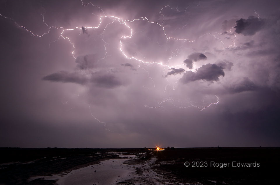
This show capped a long but fruitful, three-episode day of storm observing. After I puttered around a late-morning/early-afternoon storm complex and its surging outflow in central Kansas, north and northwest of Wichita, some messy, partially surface-based, mid/late-afternoon supercells (and their outflow-dominant progeny) erupted on the dryline and moved into a somewhat modified western part of the prior outflow air. Still more storms formed behind those around sunset, and afterward, as the low-level jet rode over the convective cold pool. Storms begat storms begat storms! This was the highly electrified back side of one member of the last episode, with frequent crawlers flickering brightly to illuminate the flash flood in a farm field. Several more similar shots will appear in SkyPix from time to time, to exhibit the variety of sparks this storm flung forth.
9 S Rush Center KS (9 May 23) Looking SE
38.3391, -99.3056
