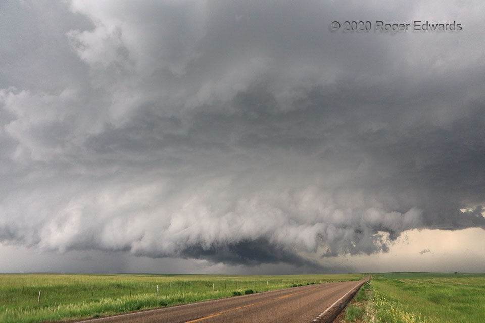
 This large, wet, ragged wall cloud rotated strongly for several minutes, and I was watching very closely for signs of a developing tornado that ultimately never happened. Convergence was quite pronounced at the center of rotation, to the left of the highway and at lower middle of the photo. However, outflow soon would shoot under the mesocyclone as it surged rightward to just a mile from me on the same road. Most mesocyclones I have observed have fallen short of tornadic glory, usually due to excessive outflow. Still, this was the most interesting within a long string of mostly wet, fuzzy, rain-wrapped supercells embedded in a line. It stuck out further eastward, into the inflow sector, and as such, was less interfered by other storms for a longer time, before its own rear-flank core’s cool-air surge sealed this circulation’s fate.
13 WNW Stephan SD (7 Jun 20) Looking WSW
44.2801, -99.698
Rotation Undercut
 This large, wet, ragged wall cloud rotated strongly for several minutes, and I was watching very closely for signs of a developing tornado that ultimately never happened. Convergence was quite pronounced at the center of rotation, to the left of the highway and at lower middle of the photo. However, outflow soon would shoot under the mesocyclone as it surged rightward to just a mile from me on the same road. Most mesocyclones I have observed have fallen short of tornadic glory, usually due to excessive outflow. Still, this was the most interesting within a long string of mostly wet, fuzzy, rain-wrapped supercells embedded in a line. It stuck out further eastward, into the inflow sector, and as such, was less interfered by other storms for a longer time, before its own rear-flank core’s cool-air surge sealed this circulation’s fate.
13 WNW Stephan SD (7 Jun 20) Looking WSW
44.2801, -99.698