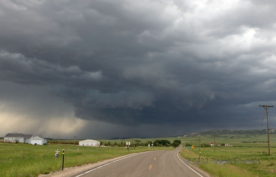
Once upon a time in the West, a supercell formed over the southern Laramie Mountains and rolled through the foothills fully mature, rotating strongly with a well-defined rear-flank/occlusion-downdraft cut around the south side of the wall cloud. That’s as far in the process as this storm got on this attempt, failing to produce a tornado on the “inside” of the higher terrain. It was a bit of a gamble to go this way to get closer to the storm sooner, instead of waiting for it off I-25 on the other side of the foothills. Once this circulation passed beyond the ridge and bluffs to the right (NNE), I had to backtrack into northern Cheyenne, then rip right past the Interstate and northeastward on US-385, to get back ahead of this fast-moving storm.
Horse Creek WY (29 Jun 23) Looking N
41.4141, -105.1821
