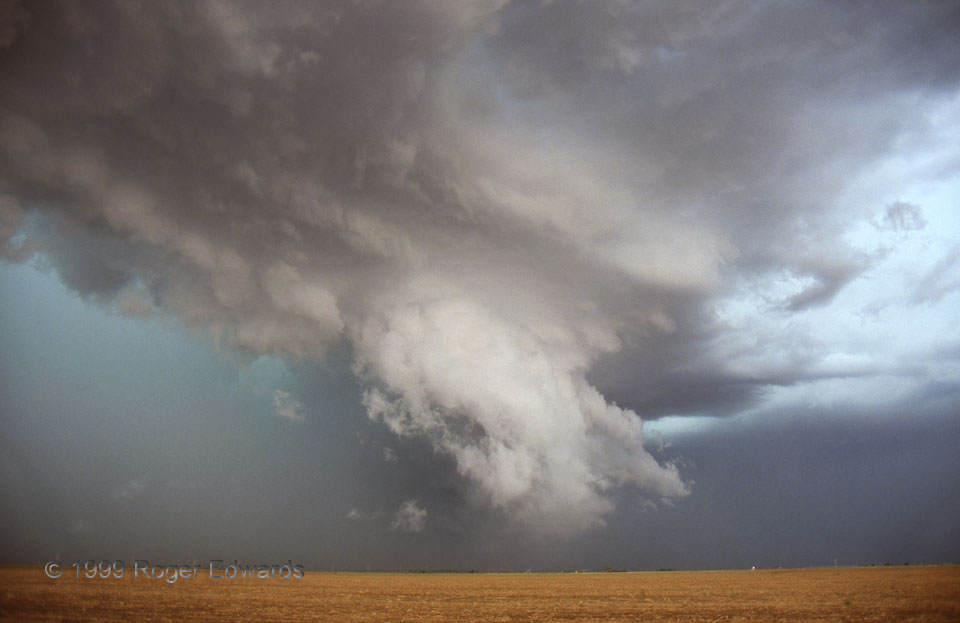
[Part 2 of 3] As the southeast-moving HP supercell‘s path and mine converged, the shelf cloud structures cleared away enough so that I could more closely examine the structure along the inflow-outflow interface. This ragged wall cloud—part of a mesocyclone at the northern apex of the storm’s rear-flank gust front—was slowly rotating. Meanwhile, hail over 2.5 inches in diameter pummeled the vehicles of some less fortunate spotters and chasers back in the greenish catacombs of the storm’s core at left (NW). Several spotters, who really had no idea what they were seeing, reported tornadoes and debris during this stage, when low-hanging spicules and tendrils of scud appeared to dangle over fine dust kicked up from the plowed fields by the broader mesocyclone. [Go to Part 3]
4 SSE Barwise TX (25 May 99) Looking N
33.9398, -101.5157
