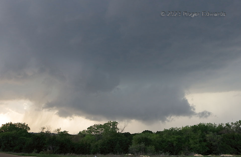
This behaved much like most wall clouds I’ve ever seen: rotating moderately, perhaps briefly fast, with strong upward scud motion from the tail portion pointing to the forward flank. Yet it failed to produce a tornado. That was a good thing for some Hill Country acreage subdivisions in the area! Despite a favorable environmental parameter space of CAPE, deep shear and low-level shear, this cyclic supercell consistently occluded nontornadic mesocyclones. The failures was storm-scale in character, as cells forming along the rear flank would dump precip upshear and into the back side of the mesocyclones, wrapping around them and cooling the inflow layer. Another fortunate failure occurred over the Killeen metro area.
5 N Copperas Cove TX (2 Apr 23) Looking NW
31.1978, -97.9048
