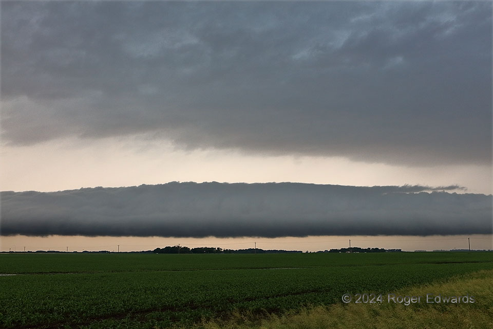
Out of a seemingly fuzzy, nebulous and nondescript area of elevated thunderstorms, a stunning, sharply formed roll cloud developed to the northwest, and surged right into an area of older outflow from storms I had passed in the ensuing couple hours. Heretofore, I had seen roll clouds with this much definition and contrast only in old weather books from libraries of the 1970s and before, usually from Florida. To encounter one on the way from Blue Earth to lunch in New Ulm, and to the afternoon’s severe-storm potential farther north, was an unexpected treat! This reinforced the dual lessons of keeping eyes to the sky at all times, and being flexible enough to stop, appreciate and shoot those moments that seemingly arise from nowhere.
1 NE Madelia MN (12 Jun 24) Looking NW
44.0622, -94.4094
