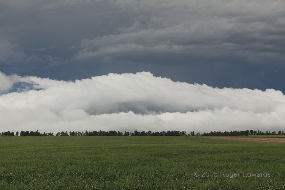
 Having risen south out of Chadron to stay ahead of a messy complex of severe thunderstorms, we awaited whatever visual treats the storms had to offer. Risen south? Yes! Though people often say “dropped south” in deference to mapping conventions, a sharp, forested escarpment rises south of town, Pine Ridge: the same feature that gives name to the tribal reservation in nearby South Dakota. While the storms rained out to our north (more on that below), the activity also sent a strong surge of outflow and this roll cloud upslope into the ridge. Being on the higher elevation, the roll cloud appeared to hug the ground, but instead, was just above the surface and deepening as the whole outflow layer lifted. The positioning of the roll cloud also gave it the white-on-slate lighting I love in a stormy sky. With the deep convection having spent itself, and since we had lodging for the night in Chadron, we would cruise back downhill find part of town in a flash flood.
13 S Chadron NE (21 Jun 13) Looking N
42.6409, -102.9795
Roll Cloud Headed Upslope
 Having risen south out of Chadron to stay ahead of a messy complex of severe thunderstorms, we awaited whatever visual treats the storms had to offer. Risen south? Yes! Though people often say “dropped south” in deference to mapping conventions, a sharp, forested escarpment rises south of town, Pine Ridge: the same feature that gives name to the tribal reservation in nearby South Dakota. While the storms rained out to our north (more on that below), the activity also sent a strong surge of outflow and this roll cloud upslope into the ridge. Being on the higher elevation, the roll cloud appeared to hug the ground, but instead, was just above the surface and deepening as the whole outflow layer lifted. The positioning of the roll cloud also gave it the white-on-slate lighting I love in a stormy sky. With the deep convection having spent itself, and since we had lodging for the night in Chadron, we would cruise back downhill find part of town in a flash flood.
13 S Chadron NE (21 Jun 13) Looking N
42.6409, -102.9795