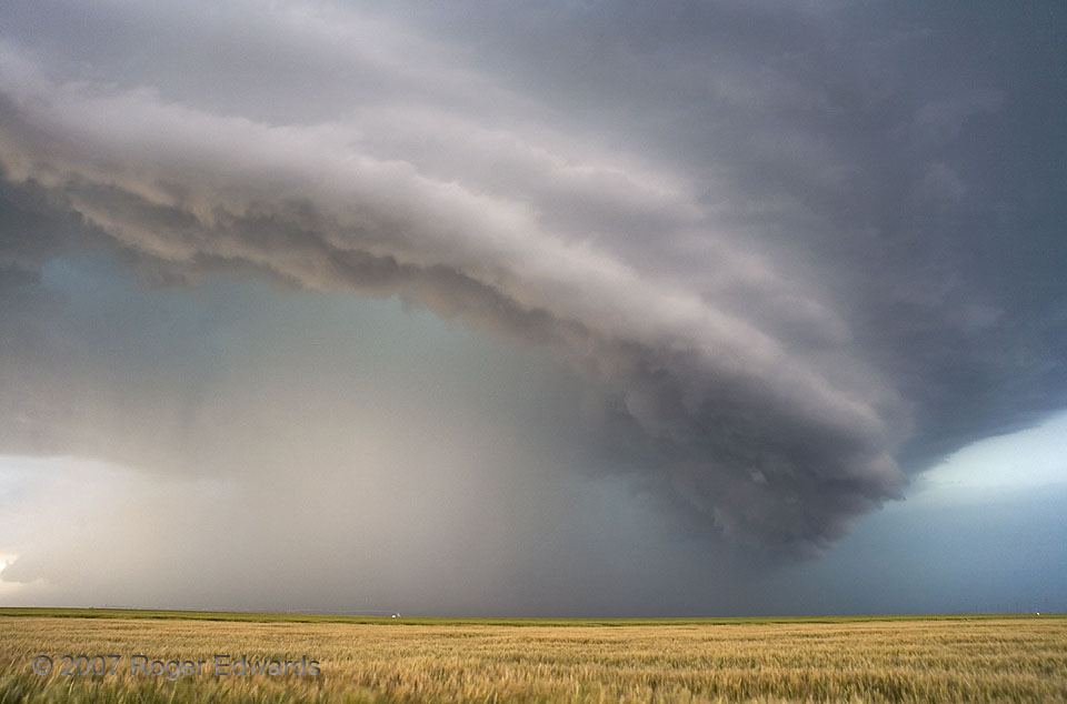
As so often happens, a late May afternoon on the Great Plains brought a colorful and dynamic sky of clouds and storms. A somewhat high-based supercell cruised past us to the north, painting this resplendent sky scene. The mesocyclone, which was located behind the lower right part of the curving shelf cloud, didn’t look too dangerous at that point, and to nobody’s surprise, the storm was spewing a rather large load of outflow. Invisible at ground level, the rear flank gust front aloft was marked by the shelf. Somehow, the storm wouldn’t completely undermine itself with cold air. It even got better organized for a spell after this, producing a brief (and of course rain-wrapped) tornado.
Eva OK (31 May 7) Looking NNW
36.8059, -101.907
