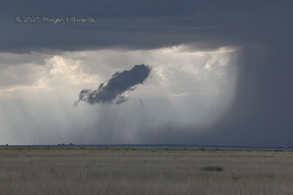
Wandering southward off the Raton Mesa with early storms, on what would become a legendary structure day (but not from this convection), I noticed a remarkable tracing of the flow from cloud to ground and back to cloud again. The absolutely classic rain foot at right surged a plume of cold outflow southward then upward in a great big toroid. That curvy-rising outflow air was cooler and moister than either side or above, so it condensed sooner, at a lower elevation, forming a fat chunk of fractocumulus scud. Look closely and see visible precipitation in the rising air at cloud condensation level!
5 NW Sedan NM (7 Jun 25) Looking WNW
36.2024, -103.1861