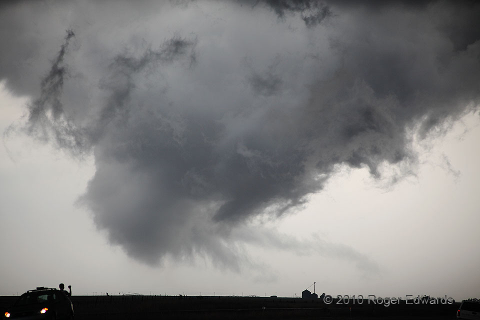
We had been positioned within a couple miles of this spot for nearly an hour as a supercell approached, watching mostly disorganized wall clouds come and go with no more than weak rotation. A larger, newer mesocyclone was forming farther east, as the parent supercell moved into richer moisture, but we stayed a little longer. This was why: an older, occluded circulation seemed to latch onto more moist inflow itself—probably a trajectory processed by the storm’s core but not enough to stabilize it a great deal—and started spinning rapidly. During this phase, the circulation tightened, the cloud base lowered, and narrow inflow bands streamed into the mesocyclone. Some of the condensation seemed to rise off the ground right before this photo, but we couldn’t verify a tornado; the scud was rising more than spinning, and no dust got kicked up, thanks to very wet ground. The scene here and with the next phase of this wall cloud exuded an eerie natural illumination—very textured and monochromatic, grays on grays, such that only the vehicular lights clearly reveal any color.
5 N Channing TX (18 May 10) Looking NW
35.7537, -102.2113
