[Click Image to Enlarge]
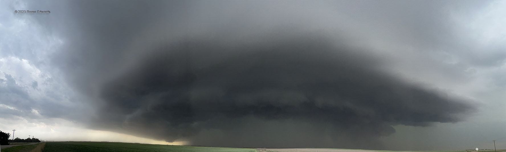
Even though the digital algorithm struggled with the light difference from the right side of one frame to the start of the next (instead of smoothly transitioning across them as usual), I kept this image because it nicely showed the character of an ominous and large, severe, heavy-precip supercell. As this storm churned toward the east-southeast, it produced numerous reports of severe hail and gusts from this area past Wichita, whil emoving along and north of an outflow boundary produced by midday convection.
5 SW Radium KS (9 May 23) Looking W-N
38.1383, -98.9679