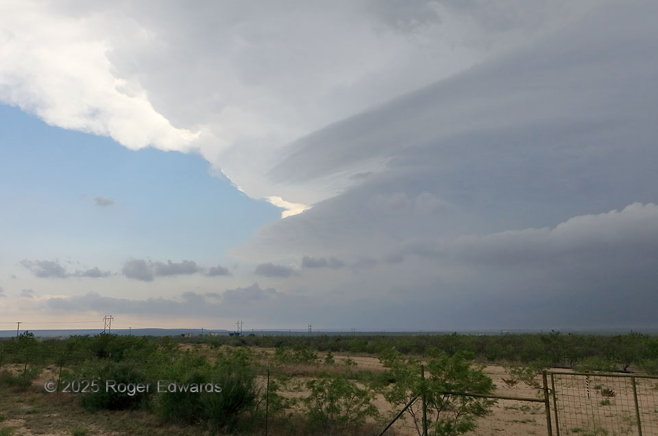
Not only in remembrances of this day, but many others over the decades, this image brings to mind times popping out of warm-frontal clouds, or moving over a terrain blockage, only to be greeted with this tremendous sight to the southwest: a deep, robust supercell, moving my way. Scenes like this always evoke hope, for the distance of the storm will allow a full perspective all the way to the arrival of the root mesocyclone nearby (assuming the storm doesn’t die, which it didn’t). In this area west of San Angelo, where the Great Plains blends into the mesa country of the western Edwards Plateau, I zigzagged back and forth between three supercells, including a tornadic first one, and passed this spot five times. This “middle supercell” was the one nontornadic storm of the day for me.
13 N Barnhart TX (19 Apr 25) Looking SW
31.3001, -101.1626