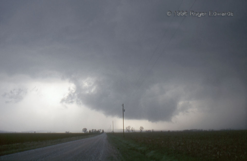
We headed east out of Kansas City on the first of two days off to sample a well-advertised, synoptically evident outbreak with “High Risk” outlook. That became a “Particularly Dangerous Situation” tornado watch for this area by the time we had arrived. With storms forecast to be fast-moving (and verifying that way!), we positioned well ahead of a surging, arc-shaped dryline, on the Illinois side of the Mississippi River, to let storms developing in Missouri mature, cross that river into friendlier viewing terrain, then try to pick a candidate supercell sifting out of the mess. In 1996, that had to be done visually, and this wasn’t a bad choice. On the east edge of the Illinois River Valley, this wall cloud started small, but rotated fast, and expanded as it hauled tail toward us, soon to produce a small tornado. Thus began the long-lasting mature stage of a supercell that went on to produce a few daytime tornadoes eastward between here and Springfield, and a couple more in the evening in the Decatur and Urbana areas.
4 WSW Winchester IL (19 Apr 96) Looking W
39.623, -90.529
