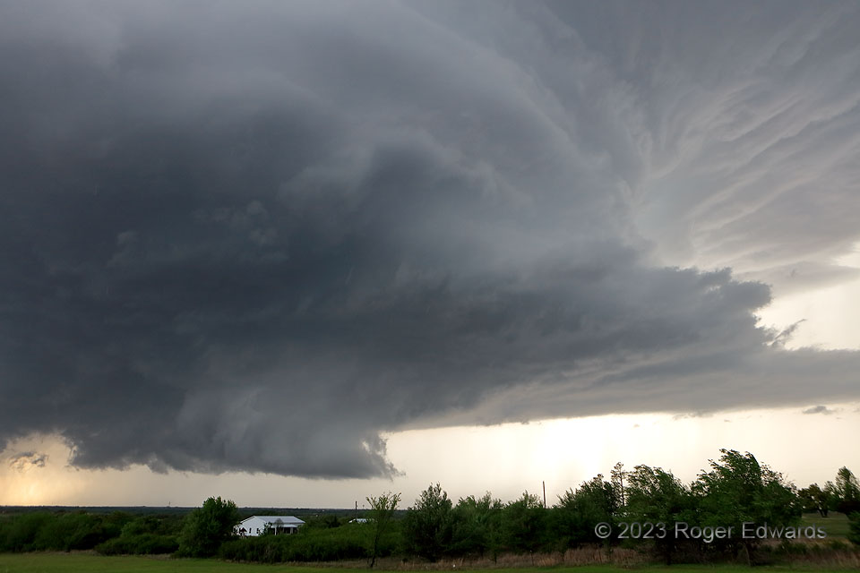
In the preceding mesocyclonic cycle before the Cole tornado, the same supercell exhibited striking structure—from the slowly rotating wall cloud at lower left up through the vault region at upper right. This had become a wide updraft within an environmentally favorable parameter space of moisture, shear and instability, giving me more confidence in its tornado potential, if the storm wouldn’t get too rain-wrapped. This cycle failed (good for Blanchard, toward which the mesocyclone loomed), but obviously the next one did not (bad for Cole, where injuries and fatalities occurred).
3 S Blanchard OK (19 Apr 23) Looking NW
35.0958, -97.6532