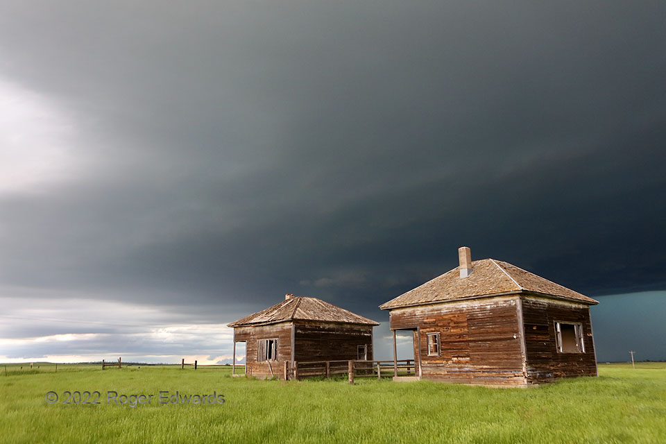
Looming darkly over a couple abandoned South Dakota schoolhouses, a big supercell base casts an ominous pall over the landscape, while a wall cloud gathers (behind the gap between the buildings). Despite the size and obvious great depth of this growing storm, it would fail to produce a tornado before being overtaken by a raging complex. That trailing activity evolved from an earlier supercell that I had tracked across southern Montana, northeastern Wyoming and western South Dakota. Once that activity absorbed this, the merged and even more intense storm cluster, with a broad and strong area of rotation buried inside, would produce a photogenic arcus with tremendous outflow, then rage into the night flinging much electricity from its back parts. For a nontornadic event, this was a long and adventuresome storm-intercept day!
4 N Wicksville SD (12 Jun 22) Looking NW
44.177, -102.5877
