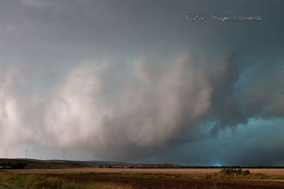
[Part 2 of 2] Before wrapping too deeply in rain to see anymore, the Saddle Mountain tornado became fuzzier visually as it crested the western end of the Slick Hills, engulfing a wind turbine that had been braked already. It didn’t appear to damage the turbine, and some of its condensation faintly can be seen on the near side of the hill, behind the lit structure. Fortuitously, I caught a power flash near the north rim of the mesocyclone, an fine illustration for spotters that intense winds other than tornadoes can cause them. Through field studies with mobile Doppler radar and photogrammetry, tornadoes have been well-documented to extend outside their visible condensation funnels. That said, I strongly doubt the tornadic part of this messy circulation extended all the way to the edge of the mesocyclone and past the lowest parts of the ambient cloud base, where this power flash occurred! Instead it appeared to be in a channel of localized nontornadic wind enhancement on the interface of the forward-flank gust front, mesocyclone, and inward-accelerating warm-sector inflow current. [Back to Part 1]
3 NE Saddle Mountain OK (10 Oct 21) Looking SW
34.9134, -98.6816
