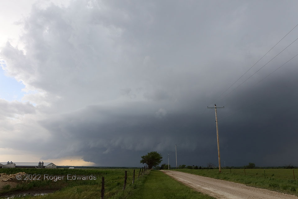
Seeing this churning along to one’s west can be a dream or nightmare—perhaps both at once. To the farmer, a heavy-precipitation supercell brings plenty of rain, but also, the risk for hail, severe wind, and flooding, all of which are not good for crops. To the storm observer, the darkening, low-visibility and increasingly thunderous western skies bring an aura of mystery and danger, especially if containing a rain-wrapped, forbidden tornadic treasure whose attempt to eyewitness will punish even the most experienced or foolish. This one didn’t, which was a good thing for everyone’s safety. For the time being, the storm was on the tail end of a string of three or four somewhat interconnected dryline supercells, moving only obliquely off the dryline. Even though this was the anchor storm, with none upshear, its mesocyclones quickly wrapped in precipitation.
2 NNE Potwin KS (30 May 22) Looking W
37.9705 -97.0114
