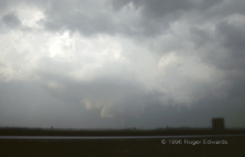
After witnessing the Winchester tornado, we had to scoot south several miles, east, then back north again, to avoid both the core of the supercell and a potentially tornadic mesocyclone that occupied the straightest road path. Doing so put us somewhat behind the fast-moving supercell, and also took us through a heavy shower that merged with the forward flank of the supercell. Still, we got just close enough to clearly see the early stages of the Jacksonville (IL) tornado slap a guard tower at the prison yard east of town, sending sheet-metal debris fluttering brightly in diffused sunshine. This photo was taken a few minutes later, as we quickly pulled off for the shot. I was in such a hurry that, with just one SLR camera at the time, I failed to switch from a wide-angle lens I had used for the Winchester tornado (which was close) to standard 50-mm fixed or a zoom lens. Live and learn! We were in the rear-flank downdraft, with the dark scud nearly overhead; the tornado was closer than it appears. Unfortunately, consumer-grade slide film also was most unforgiving in environments of strong dynamic range, and this was that. Still, I have scanned and posted this slide of the tornado, and surrounding wall cloud and convection, for historical record, as it is one of the few images of the tornado that exist.
4 ESE Jacksonville IL (19 Apr 96) Looking NNE
39.723, -90.1641
