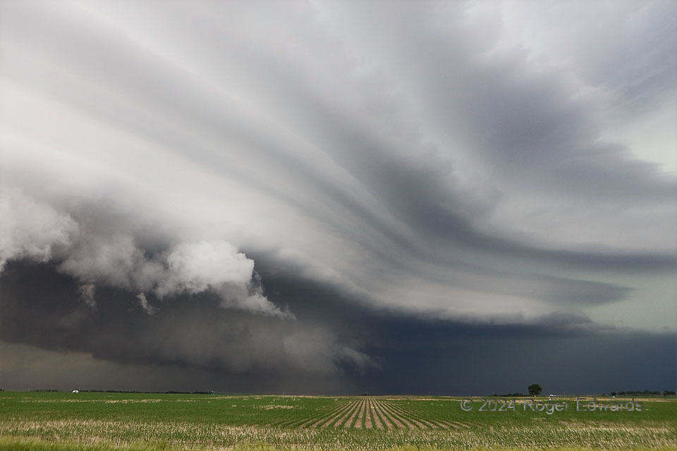
An expansive, late-stage supercell strutted insistently across the Great Plains’ vast stage with one final, gaudy show, before getting absorbed in a broader band of thunderstorms. Dust rising into the wall cloud at lower middle showed the storm still had a surface-based updraft, though the cloud plates represented stable layers through which the storm’s rotating chimney of low pressure also was forcing a tremendous amount of surrounding low-level air. The concavity in the plates at middle right coincided with the shift in position of that forced ascent from front to rear flanks, near the mesocyclone. All that had tilted downshear (eastward), as a southeast-moving supercell should. This made for a dazzling spectacle to behold, in the limited time the fast-moving storm allowed an observer to stop and appreciate.
2 NW Kenesaw NE (7 Jun 24) Looking N
40.6404, -98.68
